Current List of Project Ideas (in alphabetical order)
Buckhannon, WV Small Businesses

With this project I want to gather the locations of all of the small businesses in Buckhannon (such as ice cream shops, local restaurants, antique stores, etc.) and show them on a web map that includes hours, websites, and contact information for each business.
Evolution of the United States
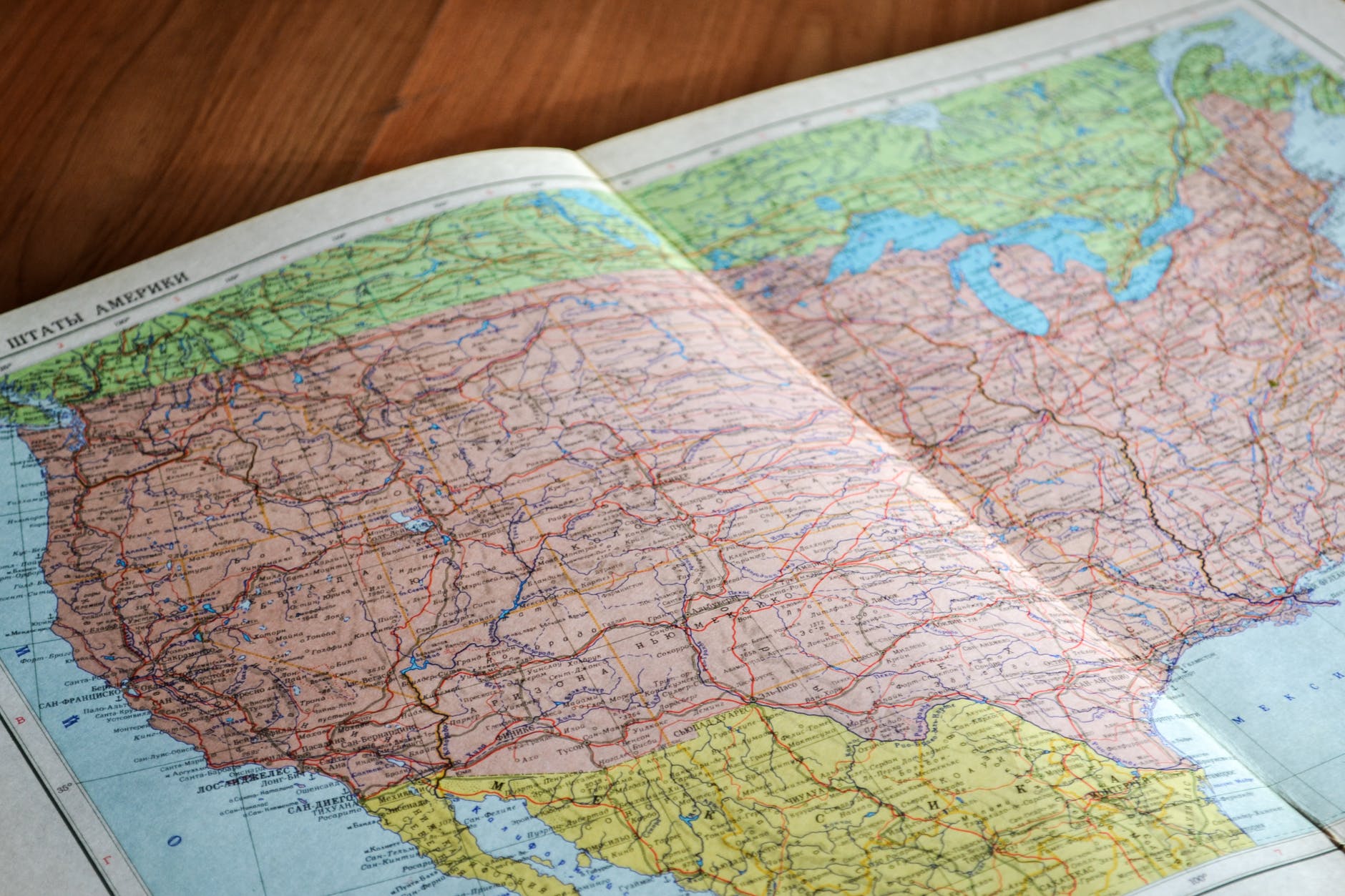
For this project, I’d like to have a time based story map of how the United States came to be the way it is today – including geographical boundaries of states, when they were acquired, and the history behind the acquisitions.
Evolution of WV Counties
This project will be super similar to the evolution of the United States project, however, it will be solely focused on the counties in West Virginia. As of right now, I honestly have no idea how these counties were decided upon, so this project may not even be feasible.
Fast Food Restaurants per Capita
I feel like this is pretty self explanatory – how many fast food joints does an area have per x-amount of people. Some restaurants have location data freely availably on their websites, whereas some don’t. I’m hoping that if they don’t have it publicly listed, I can make contact with someone who can provide me info. I think it would be interesting to also see which chain “wins” in different areas of the nation with the most restaurants in an area.
Fire Department Response Times

This project will look into the response times of fire departments in Upshur County and surrounding areas. Depending on how easy it is to access fire department location data, I may expand the analysis to West Virginia or the US as a whole.
History of Helvetia/Czar/Pickens, WV
For part of my life, I lived in Pickens, WV – a tiny, tiny little town in Randolph County, WV. The communities of Pickens, Helvetia, and Czar are very near and dear to my heart, and I think it would be a fun project to build a StoryMap about the history and settlement of these areas.
President/Vice-President Home Locations
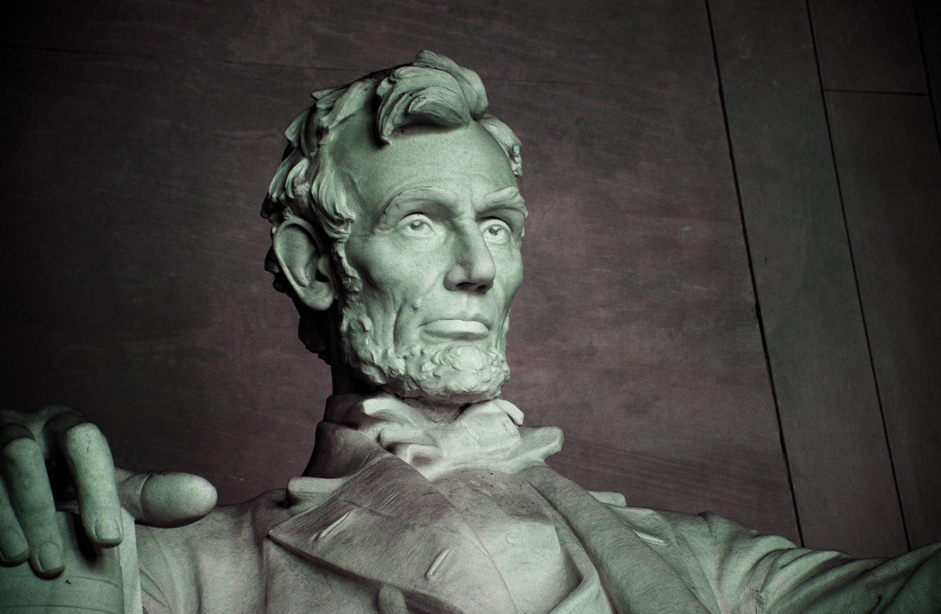
Of all of the projects I want to do, I think this one will by far be the easiest. Essentially, I just want to create a web map of the home-locations of all of the presidents and vice-presidents of the United States. I think it will be really interesting with the first 10!
Public Library Access

Growing up with a grandmother as a librarian, I realized at a young age just how crucial libraries are to communities. With the COVID-19 pandemic, it also highlighted a need for internet access not only for school-aged kids, but adults working from home too. Internet is just one service a public library provides, but I thought it would be interesting to see which areas in West Virginia are underserved in terms of libraries – especially in areas that are also underserved by internet access.
Serial Killer Locations

Yeah, it’s kinda morbid, I know. But I think it would be really interesting to see the locations of some of the most well-known (and maybe not-well-known) serial killers in the US.
Upshur County, WV Cemeteries

I guess this one could be considered kind of morbid as well. I thought it would be really cool to map out all of the headstones in Upshur County, WV. Establish the property boundaries of the cemetery and take photos and information (names, dates, etc.) of each headstone. I’d then run some analyses on the birth and death dates to see if there is any correlation in the time spans and locations of the graves. This project will be the most labor-intensive by far.
Upshur County, WV Voting
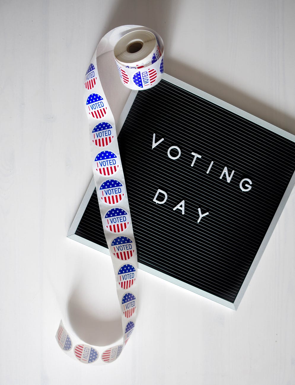
My first big election I ever voted in was the 2016 election with Hilary Clinton and Donald Trump as the two major candidates for president. I went into the poll not realizing I’d need to be voting on a slew of other things. In the 2020 election, I noticed the same thing happening with others – they knew who they wanted to vote for for president, sometimes governor, and that was about it.
My plan with this project is to create an interactive map showing the voting districts with their polling places, as well as every elected office on the ballot and who is running for that office. On top of that, I’d like to have links to their campaigns (and potentially their past legislations) so that people can easily read more about them.
WV Wedding Vendors

I was added to a WV Wedding Planning group on Facebook a while back because I made some engraved wedding hangers and epoxy tumblers for a wedding, and a friend said I should join the group.
I noticed very quickly that people were always asking the same questions – “What venues are near X” or “Who are some photographers willing to travel to X”
I realized there would be a great utility in creating a web map (and possibly a story map) of different wedding vendors in West Virginia, as well as their travel areas.
Let Me Know Which One You Want to See Next!
Thank you for your response. ✨

